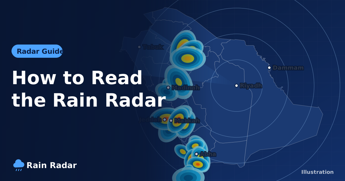
The live rain radar for Saudi Arabia shows where rain has actually fallen over the last two hours, as a loop of frames roughly every 10 minutes, so you can see whether it is raining now and which way the showers are heading. The colours show intensity: light blue for drizzle, deeper blue for moderate rain, yellow and orange for heavy rain, and red to pink for very intense downpours that often come with thunder and hail.
This guide explains, in plain English, how to read the radar on our live rain radar map, how it differs from satellite images and forecasts, and what its limits are in a country that mixes desert plains, high mountains and long coastlines. It is written for residents, expats, Umrah pilgrims and anyone driving between cities.
What is a rain radar and how does it work?
A weather radar sends out pulses of microwave energy. When those pulses hit raindrops or hailstones, part of the energy bounces back to the antenna. Bigger and more numerous drops send back a stronger echo, which the map translates into a "hotter" colour.
Each scan becomes a single image. Play the images in order and you get a short animation of rain cells growing, moving and fading. That motion is what makes radar so useful for judging whether rain will reach your neighbourhood or your route.
The observed radar on our site comes from RainViewer, which combines data from several radars and refreshes regularly to cover roughly the past two hours. Alongside it, the map offers 7-day forecast layers based on the NOAA GFS model, and every city page carries hourly and 7-day forecasts from Open-Meteo.
What do the colours on the rain radar mean?
Our radar uses a scale that starts in blue and ends in red and pink, with no green. The rule is simple: the further the colour moves from blue towards yellow and red, the heavier the rain. The rates below are rough guides, not precise measurements.
| Colour on the radar | Intensity | Approximate rate | What to do |
|---|---|---|---|
| Light sky blue | Light: drizzle or light rain | Under about 1 mm per hour | Usually nothing to worry about; roads may be slippery |
| Medium to dark blue | Moderate | About 1 to 4 mm per hour | Slow down and keep watching the loop |
| Yellow to orange | Heavy | About 5 to 20 mm per hour | Avoid underpasses, low ground and wadis |
| Red, dark red and pink | Very heavy, often with thunderstorms or hail | Above roughly 20 to 50 mm per hour | Stay somewhere safe and follow official alerts |
Tip: do not judge a cell by its colour alone. A small red cell racing past may do less than a wide yellow area crawling slowly over the same city.
How to use the live radar, step by step
- Open the live radar. The map of Saudi Arabia loads with the latest available frame.
- Press play to watch the last two hours, one frame about every 10 minutes.
- Check the time stamp on each frame. The last frame is the most recent observation, not a forecast.
- Zoom in on your city and follow the direction the cells are moving to judge whether they will reach you or pass by.
- Open your city from the list of Saudi cities for current conditions, hourly and 7-day forecasts, UV index, sunrise and sunset times, and air quality and dust.
Driving between cities? Scan your route on the radar first, then open the destination page, for example Riyadh weather or Jeddah weather, to see what the next few hours look like.
Radar, satellite or forecast: which one should you use?
People often mix up these three tools, but each does a different job:
- Weather radar shows rain that is falling now or fell minutes ago. It is the best answer to "is it raining in my area right now?"
- Satellite images show clouds from above, whether they are raining or not. They are good for large weather systems and dust plumes, but they do not tell you exactly where rain is hitting the ground.
- Forecasts are model estimates of what may happen in the coming hours and days. They are good for planning, but they can miss the exact timing and location of thunderstorms.
A forecast might give a high chance of afternoon rain, and the day passes dry because the storms formed tens of kilometres away. On another day the forecast looks quiet and a local cell pops up right over your district. Only the radar reveals that as it happens. The smart approach is to use the forecast to spot a likely rain day, then watch the radar to see when and where the rain actually starts.
What are the limits of rain radar in Saudi Arabia?
Ground clutter and false echoes
Pulses can bounce off buildings, mountains, dust or even insects, producing coloured specks that never move. If a spot stays in exactly the same place in every frame, it is almost certainly clutter, not rain.
Mountains blocking the beam
In the south-western highlands, such as Asir, Al Baha and the hills around Taif, peaks can block part of the beam, so rain behind them may look weaker than it really is. Compare the radar with the forecast on pages like Abha weather.
Distance and coverage gaps
The farther an area is from a radar, the higher the beam passes above the ground, so light rain near the surface can be missed. Coverage over some remote desert areas is weaker or unavailable.
Rain that never reaches the ground
In hot, dry air, which is very common in Saudi Arabia, rain can evaporate on the way down. It shows as a faint colour on the radar while you feel nothing at all.
Tips for reading the radar like a local
- Always play the full loop; motion tells you far more than a single frame.
- Estimate speed by comparing a cell's position between frames, remembering each step is about 10 minutes.
- Thunderstorm cells can build and collapse quickly, so do not assume a cell will keep its strength.
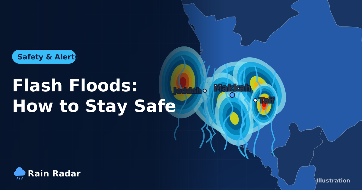
- Heavy rain on high ground can send water down wadis into places where it never rained. Our guide to flash floods in Saudi Arabia explains why.
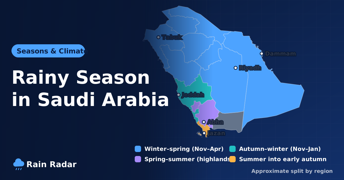
- To learn which months bring rain to your region, read when the rainy season is in Saudi Arabia.
Rain radar and official weather alerts
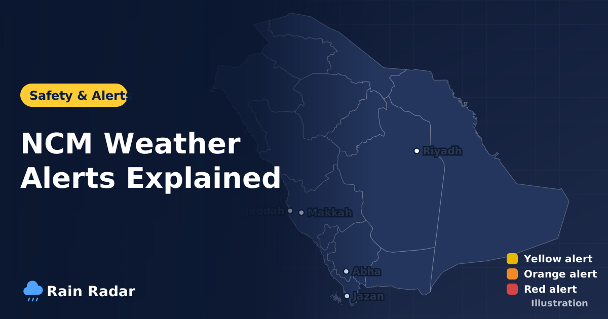
Our site does not issue official warnings. The radar shows observed rain and the city pages show model forecasts. Official early warnings come from the National Center for Meteorology (NCM), and safety instructions during rain and floods come from Civil Defense.
If you see red cells heading for your city, treat that as a cue to check the official alerts and follow them. To understand the alert levels and what each one means for you, read our guide to NCM weather alerts in Saudi Arabia.
Frequently asked questions
Is the live rain radar for Saudi Arabia real time?
The radar shows roughly the last two hours as frames about 10 minutes apart, so the newest frame can lag reality by a few minutes. That delay is small and still tells you where rain is falling and which way it is moving.
What does red mean on the rain radar?
Red, dark red and pink mean very heavy rain, often with thunderstorms or hail. When you see them near you, check alerts from the National Center for Meteorology and stay away from wadis and low ground.
Why does the radar show no rain when it is cloudy above me?
Radar detects raindrops, not clouds, so clouds that are not raining do not appear. In hot, dry air rain can also evaporate before reaching the ground, so the radar may show faint colour while you feel nothing.
Does this site issue official weather warnings for Saudi Arabia?
No. The site shows observed radar rain and model forecasts only. Official warnings come from the National Center for Meteorology (NCM) and safety instructions from Civil Defense.
What is the difference between weather radar and a forecast?
Radar shows what has actually happened in the recent past, while a forecast is a computer model estimate of what may happen in the coming hours and days. They work best together: the forecast flags a rain day, the radar shows when and where it starts.
Sources: the National Center for Meteorology (NCM) for official alerts; RainViewer radar and Open-Meteo forecasts for the data shown on this site.