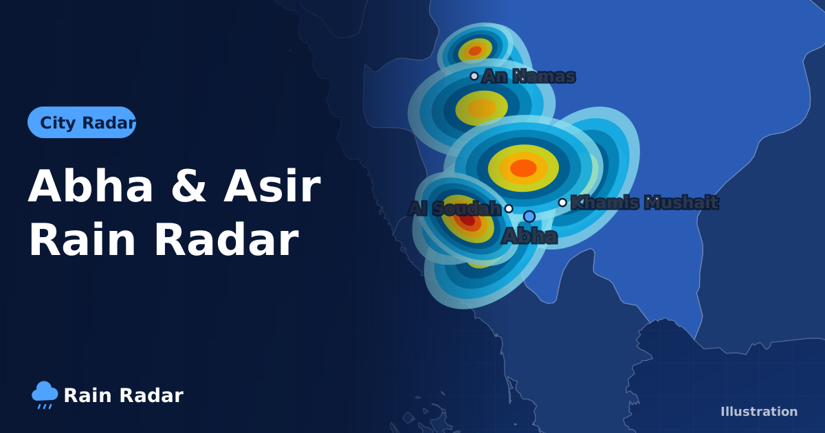
The Abha rain radar shows rain observed right now over Abha and the Asir highlands, from Al Soudah to Khamis Mushait and An Namas: open the live radar and press play to see the last two hours in frames about 10 minutes apart. Abha's rain usually comes in spring and as afternoon thunderstorms in summer, and its high altitude makes fog a regular feature.
Abha is one of Saudi Arabia's favourite summer destinations because it stays mild when most of the country is baking. This guide explains how to use the radar in Asir, when rain is most likely, how the weather changes from the peaks to the Tihama lowlands, and how to drive safely in fog.
How do you use the Abha rain radar?
The radar observes real rain rather than predicting it, so it is ideal when you want to know whether rain has started, where storm cells are sitting and whether they are coming your way. In mountain country like Asir the picture changes fast, so watching the full loop matters more than any single frame.
- Open the live rain radar and zoom in on south-western Saudi Arabia until you can see Abha, Khamis Mushait and the western slopes above Tihama.
- Press play and watch how cells develop over the last two hours, paying attention to any that grow quickly.
- Read the colours roughly: light sky blue for light rain, blue for moderate, yellow and orange for heavy, and red to pink for very heavy rain, often with thunderstorms.
- Open Abha weather for the current temperature and the hourly and 7-day forecast.
High terrain can block part of the radar beam or show fixed dots that never move; these are usually not rain. Real rain moves and changes shape from frame to frame. The best approach is to combine tools: the radar shows what is happening now, and the hourly forecast shows whether the models expect instability to continue. If both point to active weather, it is wise to postpone mountain trips.
When is the rainy season in Abha and Asir?
Abha sits on the Sarawat mountains and is among the highest cities in the Kingdom. That altitude keeps its summer relatively mild and makes it one of the wettest areas in Saudi Arabia, because moist air rising over the mountains readily forms clouds.
Abha's rain is not limited to one season. Spring usually brings rain and thunderstorms, summer brings towering clouds in the afternoon that can deliver short, heavy downpours and sometimes hail, and autumn and winter are cooler with scattered rain. Amounts vary from year to year.
| Season (approximate) | Rain in Abha in general |
|---|---|
| Spring | Relatively frequent rain and thunderstorms, with fog on some days |
| Summer | Mild weather and afternoon thunderstorms, sometimes with hail |
| Autumn | Mild, gradually cooler, with less regular rain |
| Winter | Noticeably cold, especially at night, with fog and scattered rain |
Why does Abha get more rain than most Saudi cities?
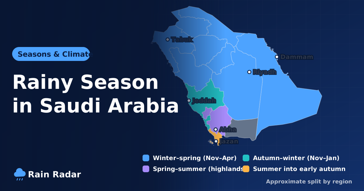
The main reason is the terrain. When moist winds from the Red Sea side meet the Sarawat mountains, they are forced upwards, cool down and condense into cloud. As the sun heats the slopes during the day, rising currents strengthen those clouds until they become thunderstorms by mid-afternoon. This happens again and again in summer, which is why storms are so familiar to residents and visitors. Compare Abha with Jazan, Taif and other cities in the rainy season in Saudi Arabia.
Al Soudah, Khamis Mushait and An Namas weather
Asir is not one city but a mix of peaks, slopes and plains whose weather can change a lot over short distances. It is best to check the page for the exact place you are heading to.
Al Soudah
Al Soudah lies north-west of Abha and is among the highest points in the Kingdom, famous for juniper forests, fog and cool air even in summer. Clouds often rest on its peaks and visibility can drop suddenly. Check Al Soudah weather before you drive up.
Khamis Mushait
Khamis Mushait sits just east of Abha with broadly similar weather, but it lies a little farther from the mountain edge and tends to be drier. See Khamis Mushait weather for details.
An Namas
An Namas lies north of Abha on the Sarawat range and shares Abha's mild summers, fog and thunderstorms. An Namas weather has the hourly forecast.
Fog in Abha: how to drive safely
Fog is one of Abha's signature features. It forms when moist air rises up the western slopes, cools and condenses, and it can roll in suddenly, cutting visibility to a few metres, especially on the steep mountain passes (aqabat) that link the highlands with Tihama, such as Aqabat Dhila and Aqabat Shaar.
- Slow down and leave a large gap to the vehicle in front.
- Use dipped headlights; full beam reflects off fog and makes visibility worse.
- Do not stop in the traffic lane; if you must stop, pull completely off the road.
- Check the radar and hourly forecast before driving up or down the passes.
From the highlands to Tihama: a big change in a short distance
West of Abha the mountains drop steeply to the Tihama plains, home to towns such as Muhayil Asir. Down there, summer is hot and humid, the opposite of the cool air above. Check Muhayil Asir weather if you plan to drive down.
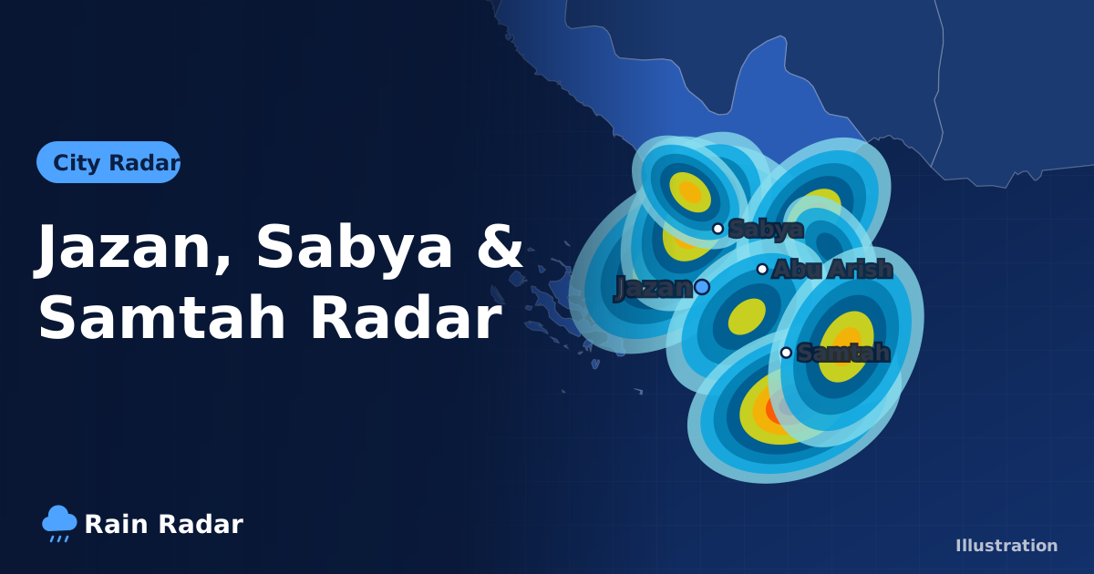
Rain on the highlands can rush down the valleys to Tihama, so a wadi may run where no rain fell. If the radar shows strong cells parked over the mountains, stay away from valleys below, and never drive through running water. For the neighbouring region to the south, read our Jazan rain radar guide.
Abha weather alerts and summer travel tips
Our site does not issue official warnings. The radar shows observed rain and the city pages show model forecasts. Early warnings and official alerts for Abha and Asir come from the National Center for Meteorology (NCM), and Civil Defense issues safety instructions. An official alert is the authority's assessment of a coming hazard and should always be followed; forecasts can miss the timing and place; the radar shows what is actually happening now. Safety decisions should rest on the official alert.
Abha welcomes large numbers of summer visitors looking for cooler weather. To enjoy your trip:
- Plan long outings for the morning, as thunderstorms usually build after midday.
- Check the UV index on the city page; mountain sun is strong even when the air feels cool.
- Pack warm clothes for the evening, especially for Al Soudah.
- Keep the Abha radar open when moving between the highlands and Tihama.
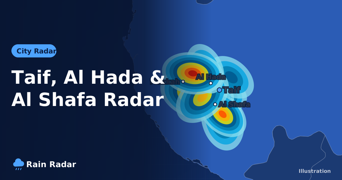
Visiting several places? Check each town's page, because it can be clear in Khamis Mushait while fog covers Al Soudah, or pouring in An Namas while Abha stays dry. For another mountain escape, see our Taif rain radar guide.
Frequently asked questions
How can I tell if it is raining in Abha now?
Open the live radar on our home page, zoom in on the Asir region and press play to see rain over the last two hours in frames about 10 minutes apart. The Abha weather page adds the hourly and 7-day forecast.
When is the rainy season in Abha?
Abha and the Asir highlands get rain in spring and thunderstorms on summer afternoons, plus scattered rain at other times of year. Amounts and timing vary from one year to the next.
Why is there so much fog in Abha and Al Soudah?
Moist air is pushed up the slopes of the Sarawat mountains, where it cools and condenses. The clouds then sit on the peaks and appear as thick fog that can cut visibility to a few metres.
Is the weather in Khamis Mushait the same as in Abha?
The two cities are neighbours and their weather is broadly similar, but Abha is closer to the mountain edge and gets more cloud and fog, while Khamis Mushait tends to be a little drier.
Where do official weather warnings for Abha come from?
Official alerts come from the National Center for Meteorology (NCM) and safety instructions from Civil Defense. Our site shows observed radar rain and forecasts only and does not issue warnings.
Sources: the National Center for Meteorology (NCM) for official alerts; RainViewer radar and Open-Meteo forecasts for the data shown on this site.